| Site name | Amathous |
| GPS Coordinates | 34°42’48” N 33°08’34” E Coordinate System: WGS 84 Zone: 36N |
| Extension | 65 ha |
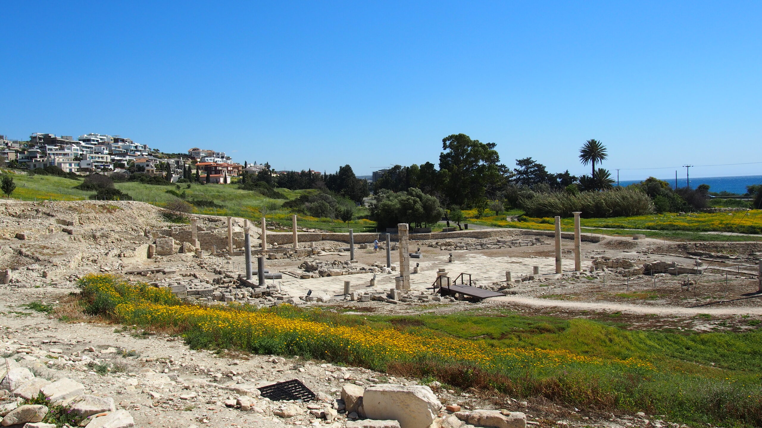
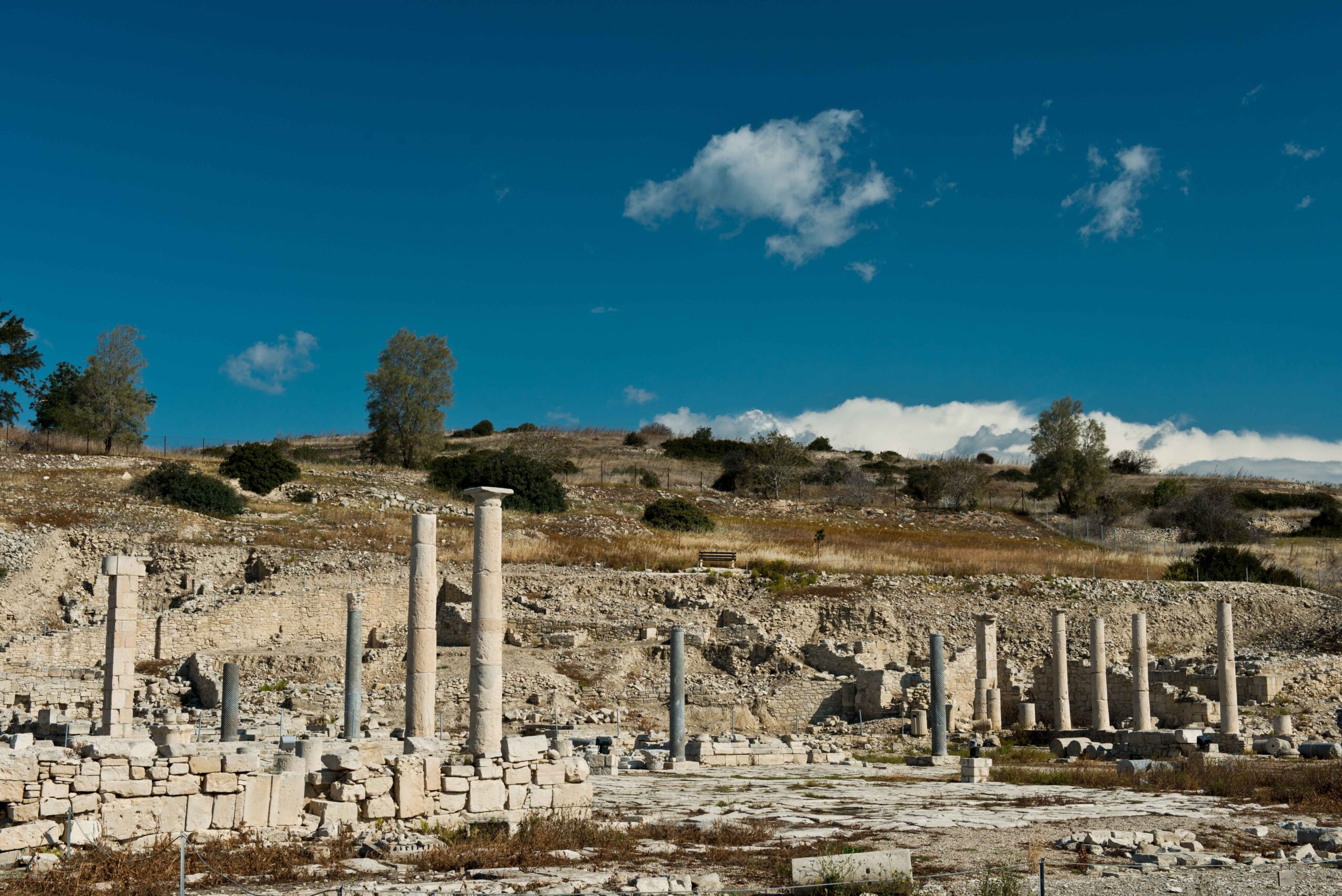
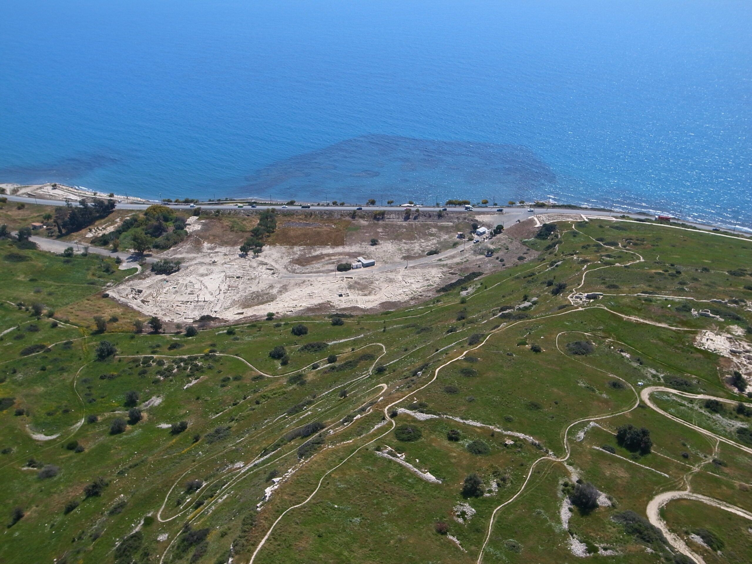
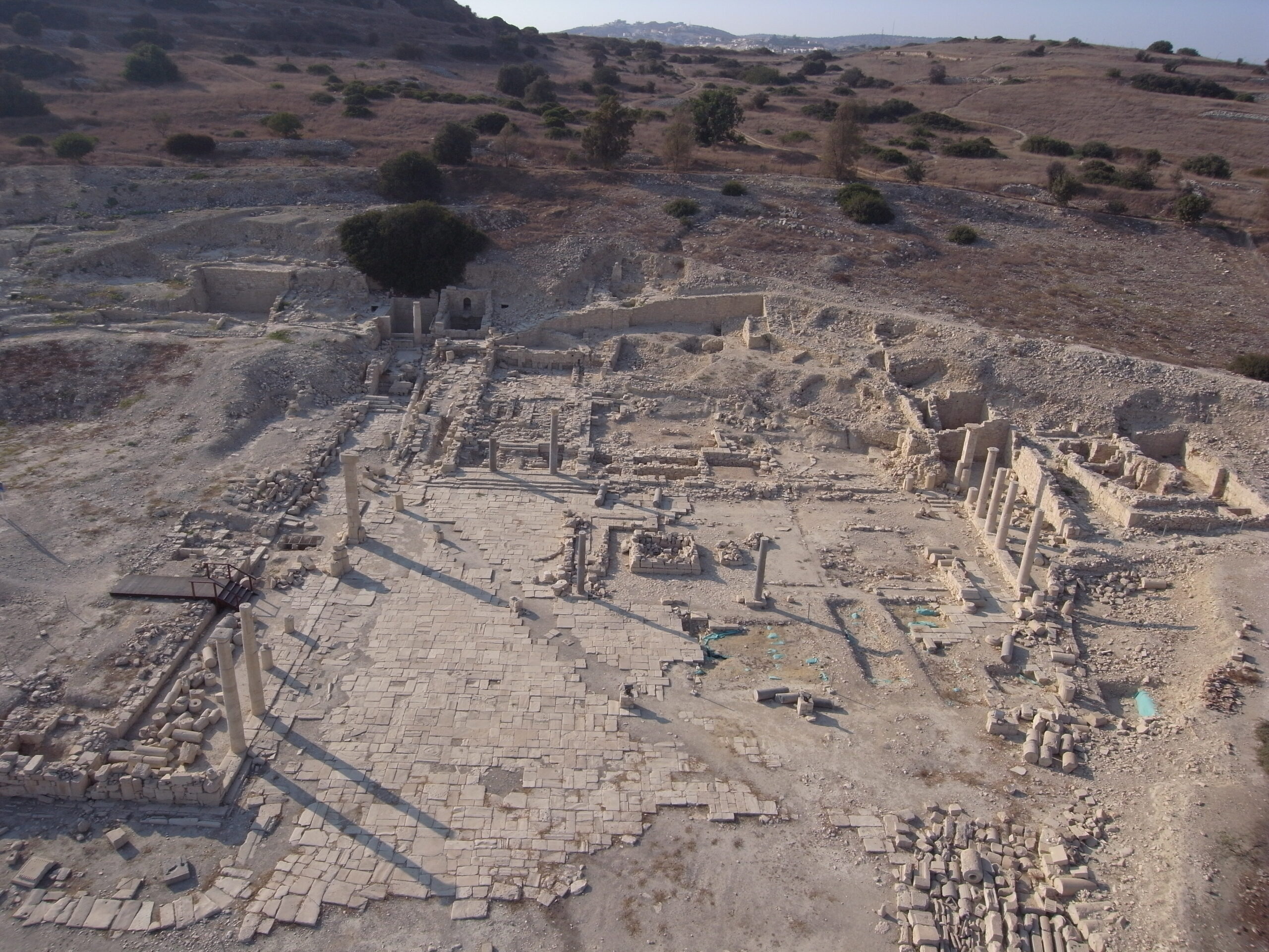
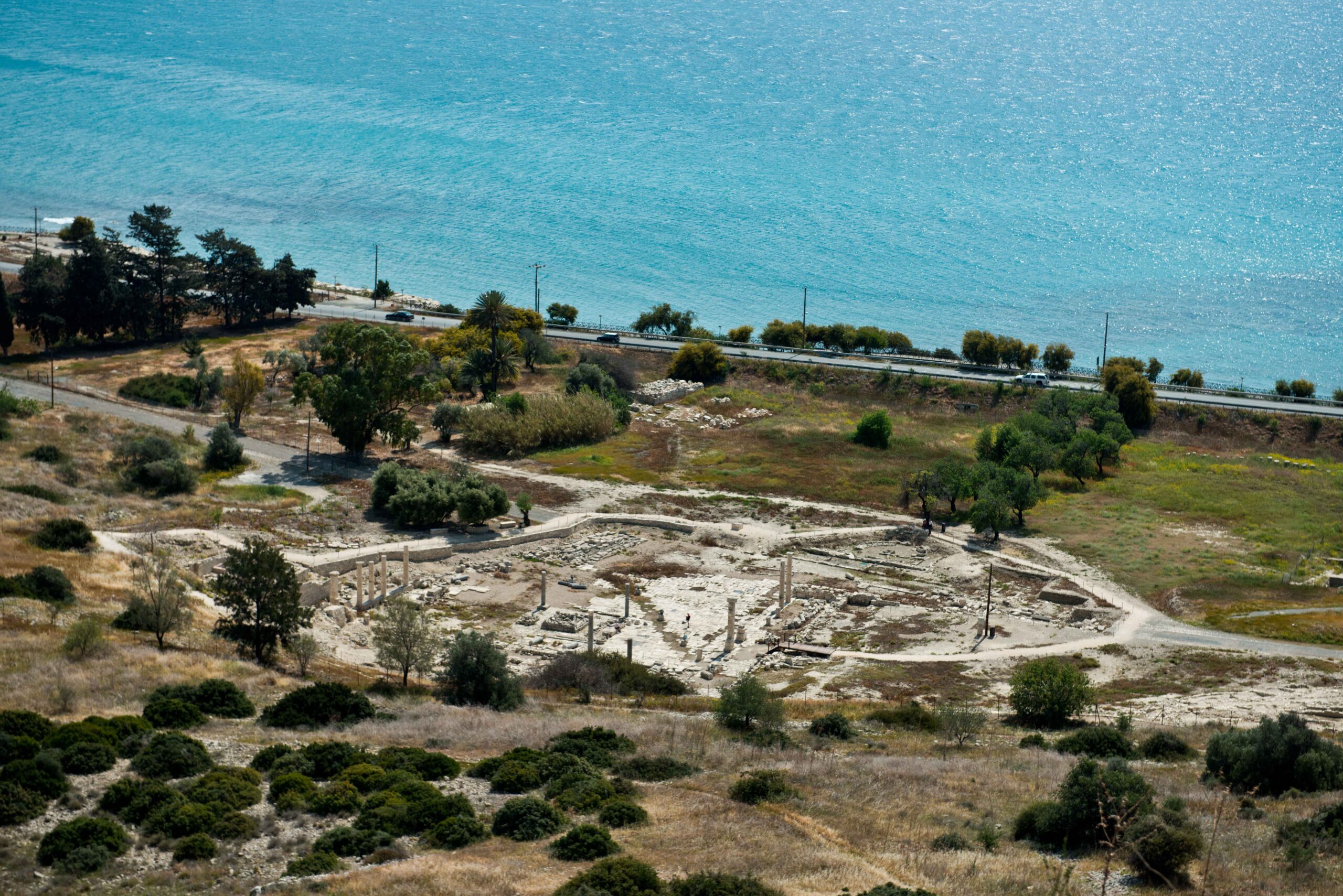
| Site description | The site of Amathous is located on the south coast of Cyprus, about 7 km east of the town of Lemesos. Excavation on the hills neighbouring the site of the ancient city detected early human presence in the area, dated back to the Neolithic period. The Greek town developed in a plane easily accessible from the sea, wherein the Hellenistic period a port was created. At the same time, from the hill of the Acropolis, where the goddess Aphrodite was worshipped, it was possible to control inner land routes of traffic and communication. Amathous flourished during the Archaic period, along with the Kingdoms of Cyprus, presenting strong commercial relations both with the Aegean and the Syropalestinian coast. During the Persian occupation of the island, the city maintained a pro-Persian stance, and it brought to its siege by Onesilos of Salamis. At the end of the 4th cent. BC (Hellenistic period), the island of Cyprus was annexed by the Ptolemies and the Kingdom of Amathous, as well as other Kingdoms of Cyprus, was abolished. The city also enjoyed prosperity during the Roman period, especially under the Antonines and the Severans.
Although the town survived the Arab raids of the mid 7th cent. A.D., it seems that it was definitely abandoned towards the end of the same century. |
| Threats | Urban activities in the surrounding of the Amathous site have dramatically changed the landscape of the area. The urban sprawl has been increased in the area of Limassol since 1980’s more than 300%. Land use and land cover have also been dramatically changed during this period, whereas agricultural areas and coastal zones have been transformed into built-up areas. Finally, the area of Amathous is located in a seismic zone which threats the standing monuments of the site. |
| Hazard assessment | Land movements Soil Erosion Land-use change |
