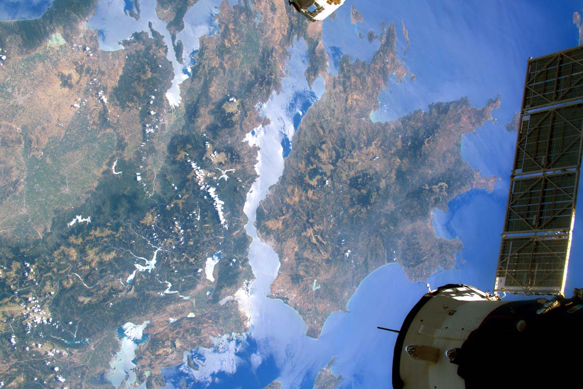
In the last few decades archaeology increasingly used remote sensing techniques, that opened new possibility for the investigation of larger areas and the subsoil. Belongs to the family of remote sensing all the techniques that don’t need a contact between them and the object to produce data. Aerial photography and Satellite Earth observation (EO) methods give the possibility to analyse large areas with a variety of possible perspectives and digital tools. They allow the identification of marks on soil left in the past and not always visible from ground, such as settlements, monuments, infrastructures, burials. On the other side, terrestrial remote sensing technologies are used to identify and map the presence of buried archaeological features, also allowing a more strategic planning of further investigation.
RESEARCH addresses the design and development of an IT service platform, combining advanced satellite technologies with ground-based data for the long term and continue monitoring and update of environmental and anthropogenic hazards to archaeological sites.
EO derived data will be complemented, calibrated and tested with ground data (e.g. geotechnical information, geophysics, and field survey), site scale monitoring (e.g. ground monitoring stations, laser scanners etc.) and risk forecasting models (soil erosion, land use, land movement) to derive end-user driven products (e.g. hazard, vulnerability and risk maps).

The increase availability of spaceborne sensors that can provide systematic optical and radar satellite images allows researchers to carried out landscape studies in wider scales.
Aerial photography became a fundamental tool in Archaeology, because it allows a wide and detailed observation of a territory, and the visibility of features that cannot be perceived and identify from the ground.
Ground-based remote sensing techniques allow a non-invasive and non-destructive survey of objects, even on a large scale.


