| Site name | Almyriotiki |
| GPS Coordinates | 39°11’21.81″ N, 22°46’54.40″ E Coordinate System: WGS 84 Zone: 34N |
| Extension | 6ha |
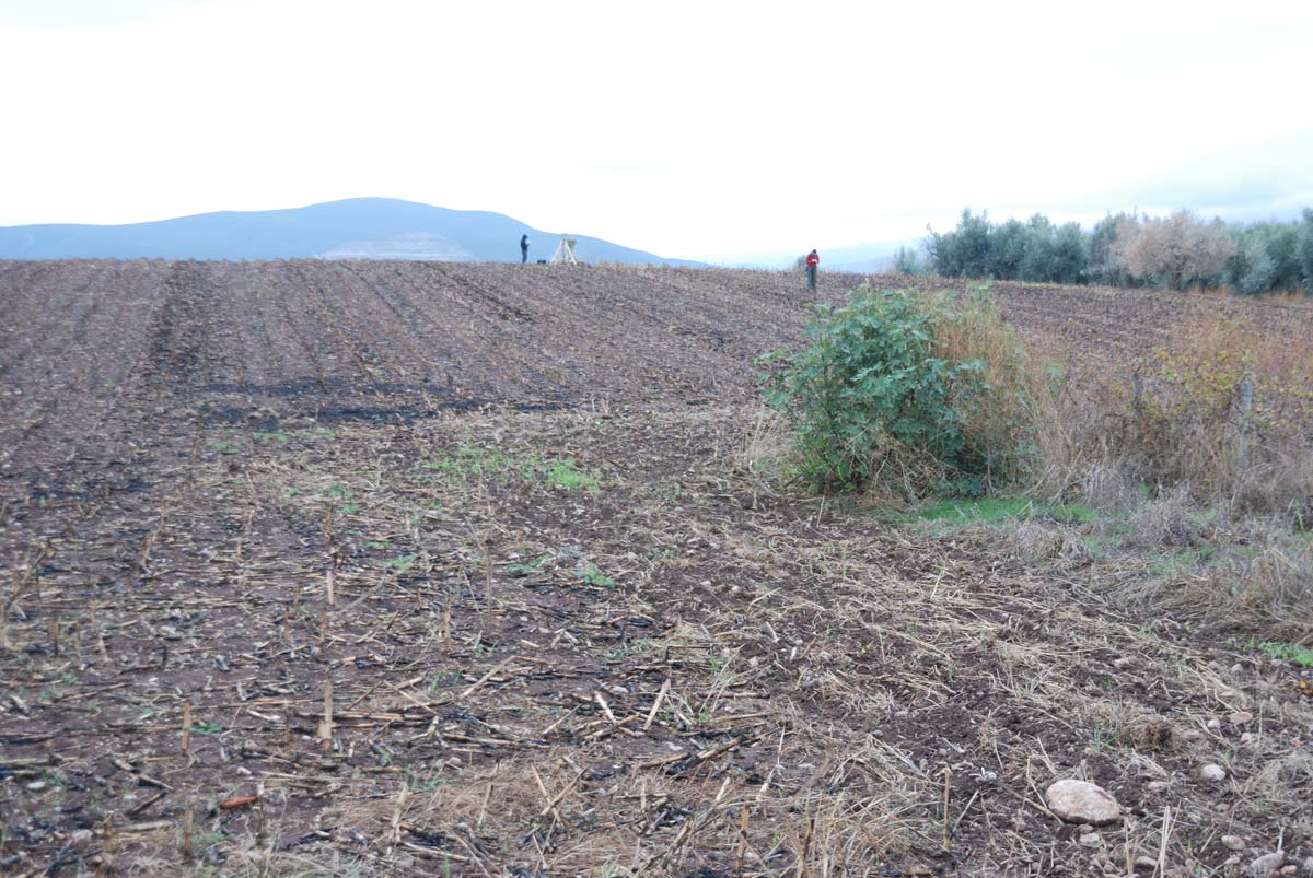
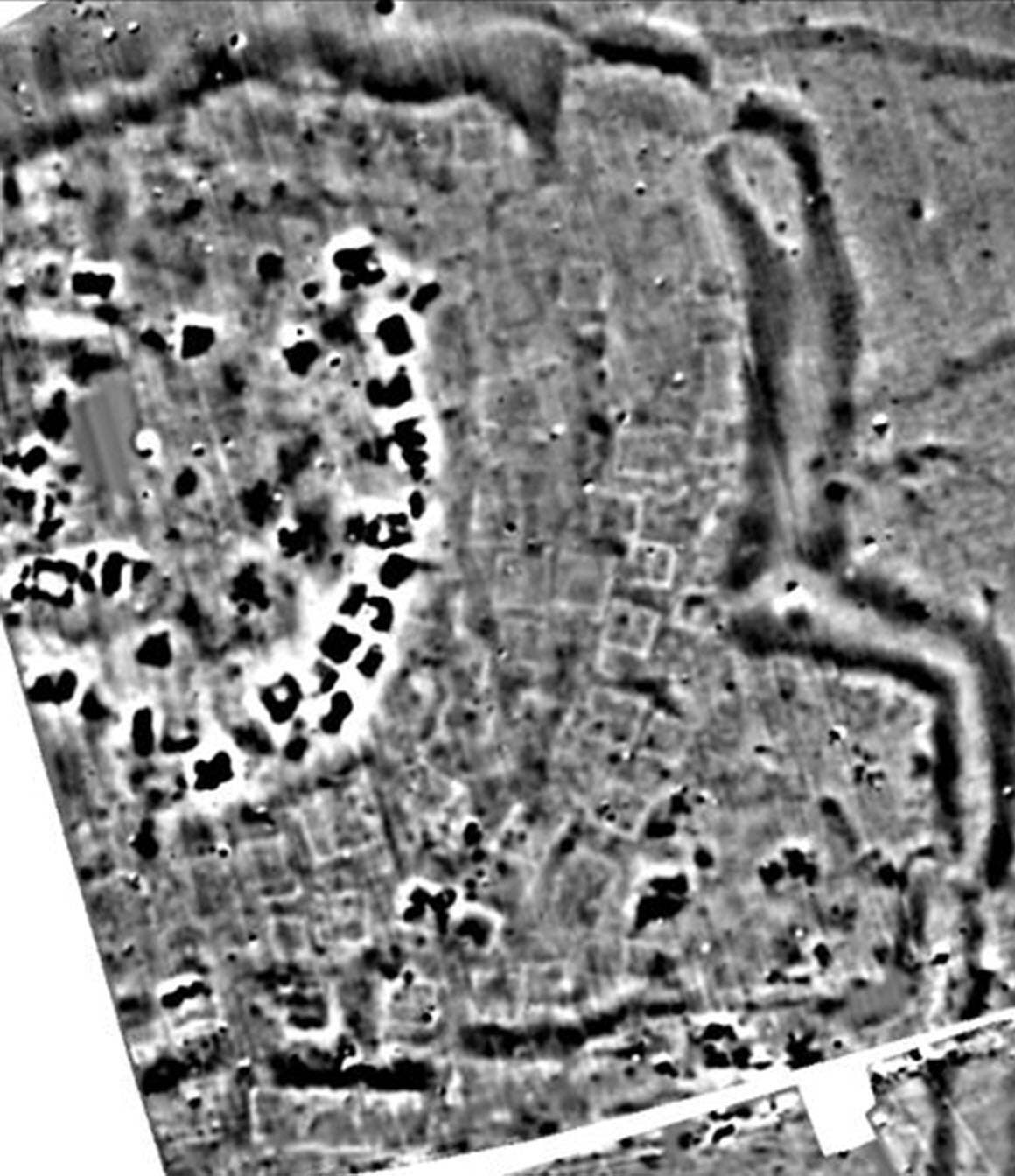
| Site description | The site was discovered during a past field-walking archaeological survey. According to surface finds, the tell (magoula) exhibits habitation that covers the EN, MN, LN and EBA period. |
| Threats | The site is located within a private field which is intensively cultivated. The variability of the terrain and the slope of the tell compared to the flat settlement imposes different degree of erosion to the various parts of the site. |
| Hazard assessment | Soil erosion |


